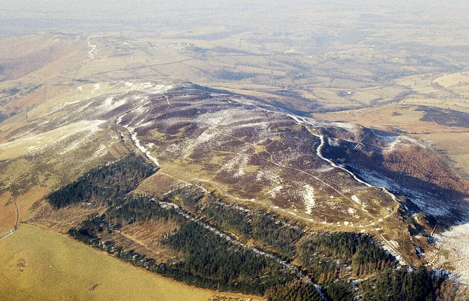
Penycloddiau Hillfort
Photo via Wikimedia Commons — licence & author.
One of Wales' largest hillforts
This is a quick reference, not a full walked guide. The facts below — location, parking, grid reference and access — are maintained from our dataset, but we haven't published our own first-hand write-up of Penycloddiau Hillfort yet. Know it well? Help us get it right.
At around 21 hectares, Penycloddiau is one of the largest hillforts in Wales — its long, grassy ramparts riding the whaleback of a northern Clwydian ridge for the better part of a kilometre. It sits on the Offa's Dyke Path, so it makes an airy, uncrowded walk with the same big Vale of Clwyd views as Moel Famau but a fraction of the people. From the shared car park you can loop it with the neat conical fort of Moel Arthur for a fine two-summit evening. It's free and open access, but exposed — pick a clear day and take a windproof.
Getting there
Penycloddiau Hillfort is in Clwydian Range, North-East Wales. It's roughly 16 min (4.7 miles) from Denbigh , and within reach of Ruthin (18 min) and Holywell (21 min).
The nearest parking: Coed Llangwyfan forestry car park (free). Grid reference SJ 127 661 — works on any OS map and doesn't need a phone signal.
Good to know
Loop over Moel Arthur too from the same car park for a fine two-fort evening walk.
On the map
View Penycloddiau Hillfort on OpenStreetMap ↗, or open it in the Explore Wales trip planner to add it to a day out with drive times and offline maps.
Staying over?
Denbigh puts you in the shadow of its imposing hilltop castle — a characterful base for the Vale of Clwyd.
Browse places to stay near Denbigh ↗ opens Booking.com — needs signalNearby places
Make Penycloddiau Hillfort part of a day out
Add it to a trip in the free Explore Wales planner — chained drive times, weather, campsite suggestions, and offline maps for when the signal drops.