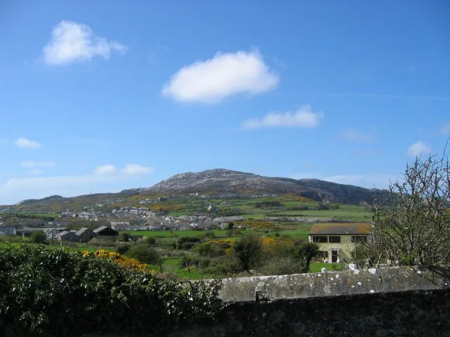
Holyhead Mountain
Photo via Wikimedia Commons — licence & author.
Anglesey's highest point (220m)
This is a quick reference, not a full walked guide. The facts below — location, parking, grid reference and access — are maintained from our dataset, but we haven't published our own first-hand write-up of Holyhead Mountain yet. Know it well? Help us get it right.
A proper little mountain by the sea: at 220 metres, Holyhead Mountain is the highest point on Anglesey, its heathery paths climbing past prehistoric hut circles to a rocky summit that on a clear day sees Ireland, the Isle of Man and the Wicklow Hills. It's an easy but rewarding walk, best looped with the South Stack lighthouse and RSPB seabird cliffs below, taking in the Tŷ Mawr hut-circle settlement on the way. Free and open.
Getting there
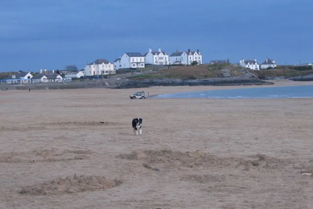
Holyhead Mountain is in Holy Island, Anglesey, Anglesey (Ynys Môn). It's roughly 9 min (1.9 miles) from Holyhead , and within reach of Trearddur Bay (13 min) and Benllech (53 min).
The nearest parking: South Stack RSPB car parks. Grid reference SH 206 823 — works on any OS map and doesn't need a phone signal.
Good to know
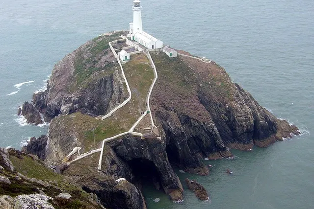
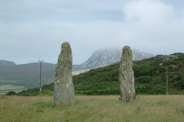
Loop it with South Stack lighthouse and the RSPB cliffs; the Tŷ Mawr hut circles are en route.
On the map
View Holyhead Mountain on OpenStreetMap ↗, or open it in the Explore Wales trip planner to add it to a day out with drive times and offline maps.
Staying over?
Holyhead makes a relaxed base for exploring the area — worth staying over to catch an early start or a golden-hour finish.
Browse places to stay near Holyhead ↗ opens Booking.com — needs signalNearby places
Make Holyhead Mountain part of a day out
Add it to a trip in the free Explore Wales planner — chained drive times, weather, campsite suggestions, and offline maps for when the signal drops.