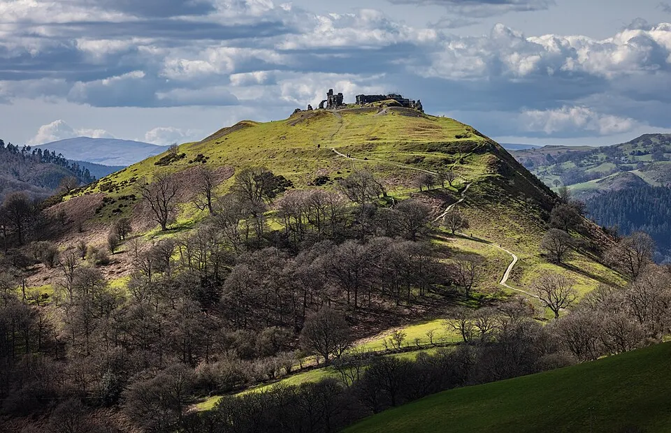
Castell Dinas Brân
Photo via Wikimedia Commons — licence & author.
'Crow City' — ruins in the sky
This is a quick reference, not a full walked guide. The facts below — location, parking, grid reference and access — are maintained from our dataset, but we haven't published our own first-hand write-up of Castell Dinas Brân yet. Know it well? Help us get it right.
Jagged 13th-century ruins crowning a steep conical hill some 230 metres above Llangollen, on the site of a much older Iron Age fort — one of the most dramatic castle silhouettes in Britain, and unforgettable at sunset. The climb is a zigzag path of around 45 minutes from town. From the top you can carry on along the Panorama Walk beneath the pale limestone crags of Eglwyseg. Free and open, always.
Getting there
Castell Dinas Brân is in Llangollen, Dee Valley & the Berwyn. It's roughly 6 min (0.6 miles) from Llangollen , and within reach of Corwen (27 min) and Ruthin (33 min).
The nearest parking: Llangollen town car parks (Market Street). Grid reference SJ 215 420 — works on any OS map and doesn't need a phone signal.
Good to know
45-min zigzag climb from town; carry on along the Panorama Walk under Eglwyseg crags.
On the map
View Castell Dinas Brân on OpenStreetMap ↗, or open it in the Explore Wales trip planner to add it to a day out with drive times and offline maps.
Staying over?
Llangollen makes a relaxed base for exploring the area — worth staying over to catch an early start or a golden-hour finish.
Browse places to stay near Llangollen ↗ opens Booking.com — needs signalNearby places
Make Castell Dinas Brân part of a day out
Add it to a trip in the free Explore Wales planner — chained drive times, weather, campsite suggestions, and offline maps for when the signal drops.