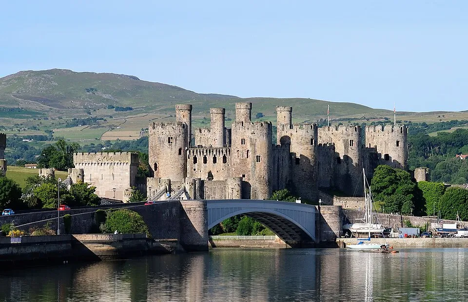
Conwy Castle & Town Walls
Photo via Wikimedia Commons — licence & author.
World Heritage fortress
This is a quick reference, not a full walked guide. The facts below — location, parking, grid reference and access — are maintained from our dataset, but we haven't published our own first-hand write-up of Conwy Castle & Town Walls yet. Know it well? Help us get it right.
The most complete of Edward I's 'ring of iron' — eight great drum towers rising over the Conwy estuary, built between 1283 and 1287 by Master James of St George, and a World Heritage Site. What sets Conwy apart is the town: the castle is stitched into the most complete circuit of medieval town walls in Britain, three-quarters of a mile of wall-walk with 21 towers, which you can walk for free. Climb the castle towers early, before the coach parties, and save the walls for dusk when they empty out. Cadw charges for the castle; the free walls and the Smallest House on the quay round out the day.
Getting there
Conwy Castle & Town Walls is in Conwy, Conwy & the Coast. It's roughly 0 min (0 miles) from Conwy , and within reach of Llandudno (12 min) and Penmaenmawr (14 min).
The nearest parking: Morfa Bach or Vicarage Gardens car parks in town. Grid reference SH 779 773 — works on any OS map and doesn't need a phone signal.
Good to know
Climb the towers early before coach crowds; walk the walls at dusk when they're empty.
On the map
View Conwy Castle & Town Walls on OpenStreetMap ↗, or open it in the Explore Wales trip planner to add it to a day out with drive times and offline maps.
Staying over?
Conwy is the most impressive castle town in Wales — stay the night and live as a ‘Jackdaw’, inside the medieval walls.
Browse places to stay near Conwy ↗ opens Booking.com — needs signalNearby places
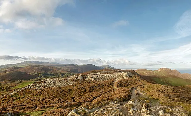
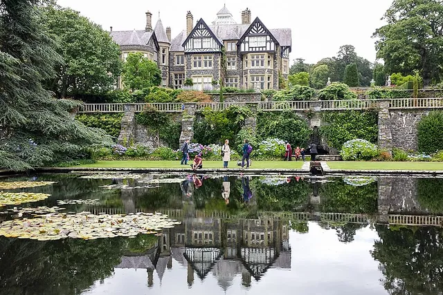
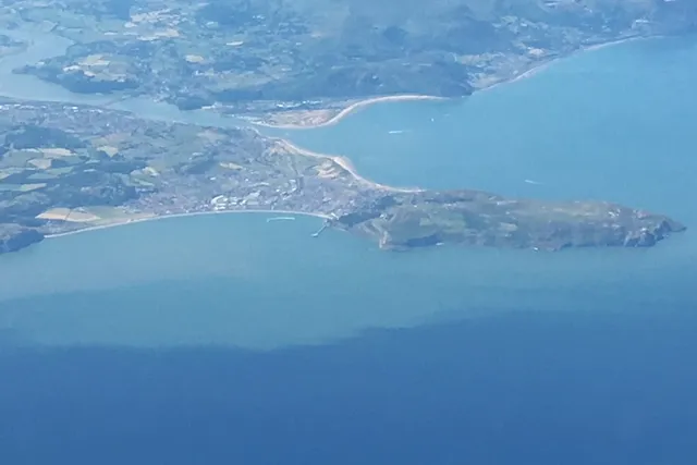
Make Conwy Castle & Town Walls part of a day out
Add it to a trip in the free Explore Wales planner — chained drive times, weather, campsite suggestions, and offline maps for when the signal drops.